Graphite, ballpoint pen, ink, acrylic and inkjet printing
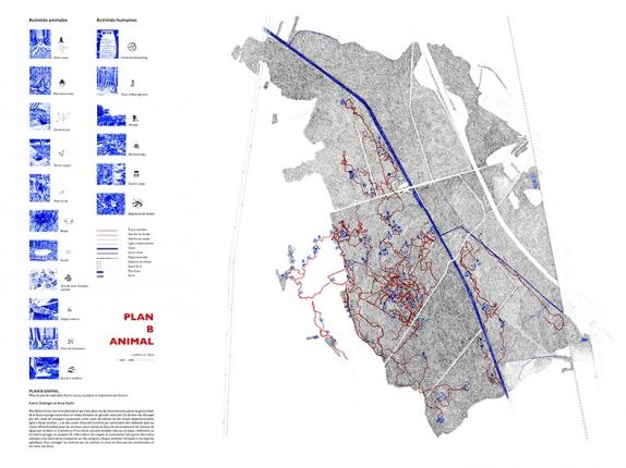
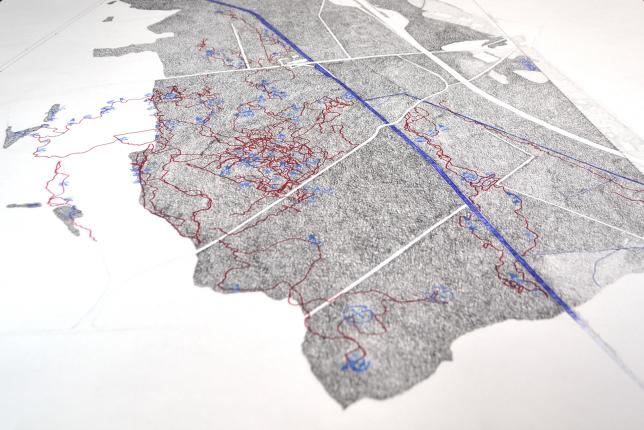
Plan B Animal is a map created from numerous sessions of tracking wild animals in a small Alsatian forest. This alternative map traces two years of tracked and geolocated paths of wildlife living in a constrained forest and agricultural environment: cut up by transport routes (motorway, canal, railway lines, departmental roads, high voltage line, etc.) and areas of human activity (logging, leisure activities) which constitute more or less impassable obstacles for animals. Surrounded by intensive agriculture, fauna and in particular medium and large mammals (foxes, badgers, martens, deer, wild boars) are relatively “fixed” in this a priori hostile space. Mammals, wild or liminal, develop surprisingly there, sharing a territory with humans without rubbing shoulders with them.
In Plan B Animal, the “invisible” movements of animals, tracked on the ground based on the traces they leave, are conveyed by image capture systems: camera trap, fingerprinting, GPS tracks and cartography. This tracking work makes it possible to realize one of the fantasies of cartography, which is to represent the invisible. Here, it is the superposition of two worlds deemed irreconcilable which is worked on between hyper-urbanized rurality and the “undergoing” world, one of the oldest practices of humanity (tracking) and one of the most current technicalities (geolocation).
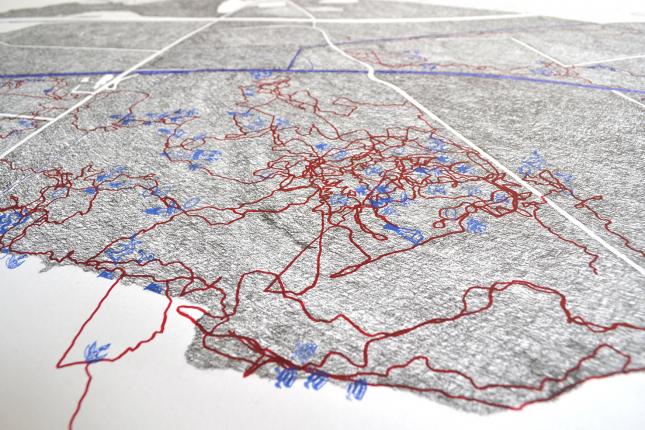
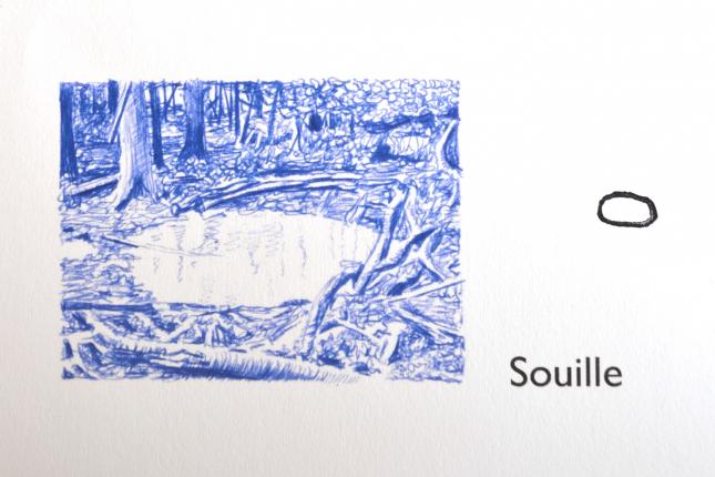
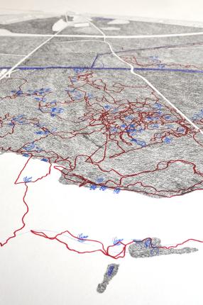
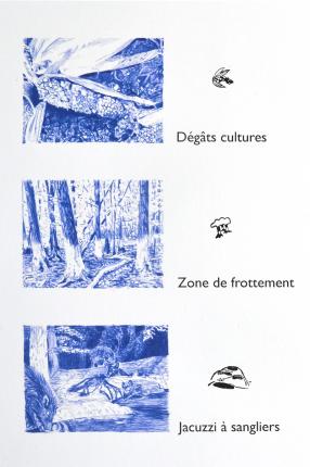
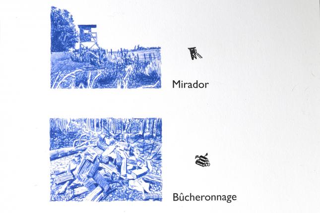
The paths and places where animals live constitute the networks of lines which here reveal the presence of fauna which is often invisible but which actually practices this shared territory, trying to “deal with” the risks and constraints. The routes of the animals are shown on the map by red lines drawn in acrylic and part of the traces noted have been drawn and transposed onto stamps, each symbol referring to a specific legend.
The challenge of the Plan B Animal card is above all to create a drawing based on a specific experience – in particular that of attention and a new understanding of wildlife, of an approach different from the other. This acuity training experience, transposed into cartographic drawing, allows for varied readings and projections and stimulates the creation of fiction.
